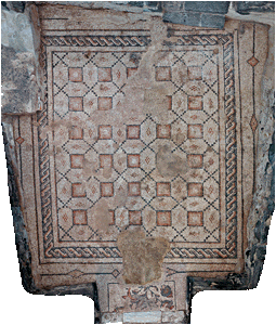
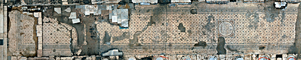
The rectified photography is used in conservation for creating
a base-map on which different conservation data are recorded - condition report, project
of future intervention, monitoring assessment data and so on. Recording of any
phenomenon in this way gives it's exactly location. If the phenomenon is not visible
the conservator marks the location according to his experience or another research method.
Mapping the conservation problem allows looking at it in context
with another problem or problems, to analyze it in connection with topographical factors,
to see or to measure it's quantity. |